
Type
Viewpoint
Location
Interbay (Magnolia)
Special Features
Partial View of Seattle Skyline and Elliott Bay Marina
Picnic Area
Access to the Terminal 91/Elliott Bay Trail
Entrance
South end of 23rd Ave W.
.
Preview
Smith Cove is a neat little park at the south tip of Interbay, located in between Pier 91 and Elliott Bay Marina. Interbay is the flat strip of land that separates Queen Anne and Magnolia. If you’re looking for the most stunning view in Seattle, this isn’t it. But it’s a charming little spot, and quite different from any other Seattle saltwater park I’ve been to so far.
In 2016 I did a series of previews for parks in Magnolia. The reason I didn’t include Smith Cove in that series, despite it being right at the foot of Magnolia, is because it’s not on the natural loop you can drive to viewpoints around the hill. (See my suggested Magnolia tour route here.) The only way to get in and out of Smith Cove is from 15th Avenue. There are no streets that link the park to the rest of Interbay or to Magnolia. (See driving directions in the Things to Know section.)
As you’re driving south on 23rd to get to the park you see soccer fields on your right. Though currently they are partially filled with construction equipment for some kind of stormwater project. Street parking is available on your left along the field area.
But a nice surprise is that there is a little turnaround right by the path entering the main park, and parking is allowed in the turnaround. This is very convenient for those with mobility issues.
The paved path from the turnaround into the park heads east through a gated fence, and I believe the gate gets locked at night.
Just inside the gate on your left are three benches, but a hedge on the right side of the path blocks the view, so it’s an odd location for them.
A short distance down the path brings you to the viewpoint area. On your right are two view benches looking out over Elliott Bay. From here you can see Pier 91 next door, the upper part of the Seattle skyline, the tippy top of Mt. Rainier peeking up over pier buildings, and boats moored in nearby Elliott Bay Marina. It’s not the grandest view in Seattle, but in the late afternoon with golden light hitting the city it’s pretty nice. At dusk the marina would be quite pretty.
(If you leave the park and walk a bit west towards the marina on the sidewalk, you’ll get a better view of Mt. Rainier without the pier buildings in the way. I didn’t think of doing that until I was back home.)
At the end of the park path is an open area with five picnic tables and two more benches. The number of picnic tables surprised me considering I thought this was one of the more obscure Seattle viewpoint parks due to its inconvenient location.
What I didn’t realize, until I looked it up while writing this post because of seeing a lot of cyclists passing by the park, is that the park is on one branch of the Terminal 91 Trail (AKA the Elliott Bay Trail).
The Terminal 91 Trail travels from Interbay to the Seattle waterfront along the shoreline of Elliot Bay. It’s popular with walkers, runners, and cyclists. There are two different starting points for the trail in Interbay, and one of them is at Elliott Bay Marina. The popularity of the trail probably explains all the picnic tables.
If you’re not biking or walking the trail, I would recommend Smith Cove as a great drive-to picnic location if you’re looking for somewhere new to go, except for one problem. There is no bathroom at the park, either at the fields or viewpoint.
For some this presents little problem. But if you have young children with you or suffer from an unpredictable digestive tract, this isn’t the best spot to plan an extended outing. Because of the location oddities, there are no easily reached public bathrooms nearby.
At the east end of the park you get a clear view of the cove, pier 91, and any interesting boats tied up to it. During cruise season you get a nice look at the enormous cruise ships that head up to Alaska. Piers 90 and 91 were completed in 1921, and at 2530 feet were the longest earth-filled piers in the world at the time.
I was here at low tide and the sea floor is shallow, so a good amount of rocky shoreline was revealed, including a small point. If you’re agile, there are gaps in the rocks in front of the first two view benches where you can climb down and walk around at low tide.
Lots of birds were peacefully paddling around, which added a nice touch. In addition to seagulls I saw Barrow’s goldeneyes and American wigeons.
Smith Cove is a neat little out-of-the-way spot, and worth a visit if you have the time and inclination, especially if you love trying to tour all the Seattle viewpoints.
.
Things to Know
Hours
Winter: 6 am – 7 pm
Summer: 6 am – 9 pm
Seating
7 benches.
5 picnic tables.
Bathrooms
None.
Parking
Space for about 4 cars in the turnaround next to the park path.
Street parking on the east side of 23rd.
Usage
Given the travel route limits to the park, I had expected Smith Cove to be little used. Once I learned about the Terminal 91 Trail it made more sense that there were a surprising number of people of people around within a short time span.
I was here for half an hour late in the afternoon on a sunny Saturday in March. One couple was in the park when I arrived, another couple came along a bit later, and two other people wandered through at different times.
My guess is that on an average day it wouldn’t be unusual to have the place to yourself at least part of the time. But on nice weekends, especially in warmer weather, it’s probably typical to see a varying number of people passing through, with some staying for a while.
Driving Directions
From 15th Avenue turn west onto Garfield Street, which crosses the Magnolia Bridge.
After merging with traffic on the bridge, take the terminal 91 exit off the bridge before you get to Magnolia.
Turn left onto 23rd Avenue and go under the bridge.
Go straight ahead until you reach the water and the turnaround and park entrance are on your left.
To return to 15th, go back up 23rd, take the first right, and take the ramp up to the bridge.
Photo Ops
Partial Seattle skyline and Mt. Rainier, boats, birds.
Best light: afternoon for skyline, morning or after sunset for marina.
Combo Outing
Web Resources
Space Needle webcam (to check if cruise ships are docked before going)
.
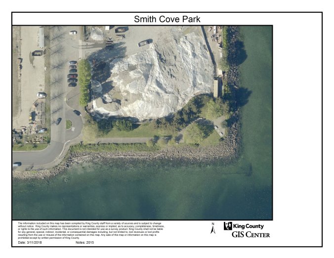
2015 aerial view courtesy of King County iMap.
.
